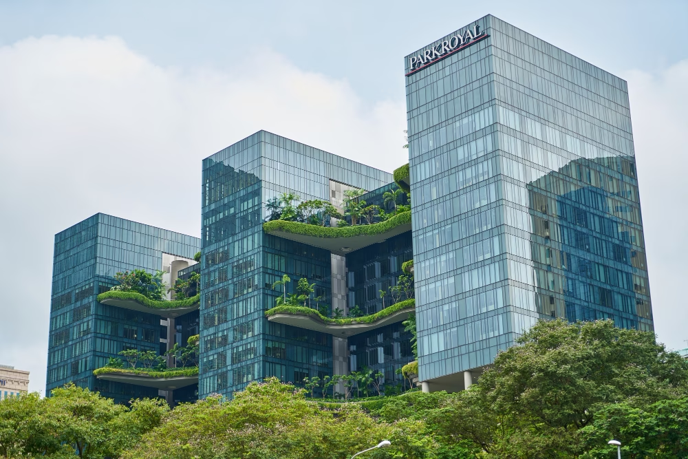
Urban Design Services That Meet Australian Green Building Standards
Discover how urban design services help meet Australian green building standards. Learn how Smart Planning and Design supports sustainable, compliant projects.
read more

Every morning, millions of commuters in megacities like Mumbai, Mexico City, and Lagos face the same daunting reality: hours lost in traffic jams, fuel wasted, and tempers frayed. By 2050, urban traffic congestion could cost the global economy over $1.3 trillion annually in lost productivity and environmental damage. Yet, amidst this chaos, a quiet revolution is unfolding. Cities are harnessing big data to transform gridlock into seamless mobility, proving that the future of urban transit lies not in pouring more concrete but in leveraging bytes and algorithms.
Traffic congestion is more than a daily inconvenience—it’s a systemic crisis. In Jakarta, drivers spend an average of 22 days per year idling in traffic, while Los Angeles commuters waste 120 hours annually crawling through bottlenecks. Beyond lost time, the environmental toll is staggering: urban transport accounts for 25% of global CO2 emissions, with idling engines spewing pollutants into overcrowded streets. Traditional fixes—wider roads, new highways—often exacerbate sprawl and inequality. The solution? A data-driven approach that treats traffic as a dynamic, interconnected system rather than a static problem.
Big data transforms chaotic traffic patterns into actionable insights. By aggregating real-time inputs from IoT sensors, GPS devices, ride-hailing apps, and social media, cities gain a 360-degree view of mobility flows. For example, Singapore’s Smart Nation Initiative uses machine learning to predict congestion hotspots hours in advance, adjusting traffic signals dynamically. Similarly, Barcelona’s CityOS platform integrates data from buses, bikes, and pedestrians to optimize routes in real time. These systems don’t just react to traffic—they anticipate it, creating a feedback loop where roads adapt to demand.
Bengaluru, India’s tech capital, faced gridlock so severe it risked stifling its economic growth. In 2022, the city deployed Project Traffic Vision, a big data initiative aggregating inputs from 10,000 cameras, 500 IoT sensors, and 2 million mobile users. Machine learning models predicted congestion spikes with 92% accuracy, enabling adaptive traffic light sequencing and bus rerouting. The result? A 25% drop in peak-hour delays and a 15% reduction in emissions—proof that data can outpace concrete.
Big data isn’t a panacea. Privacy concerns loom large, as mobility tracking risks surveilling citizens. Cities must anonymize data and enforce strict governance. Additionally, legacy infrastructure in older megacities like Cairo or Manila struggles to integrate IoT systems. Perhaps most critically, solutions must avoid favoring tech-savvy elites. Mumbai’s Open Traffic Initiative tackles this by sharing real-time data with auto-rickshaw drivers via low-cost SMS alerts, ensuring equitable access.
The future of urban mobility lies in holistic data ecosystems. Imagine traffic lights that communicate with autonomous vehicles, drones managing accident response, and AI coordinating metro, bike, and pedestrian flows into a single network. For city planners and tech providers, the mandate is clear: prioritize interoperability, invest in digital literacy, and design systems that serve all citizens. The megacities that embrace this vision won’t just cut congestion—they’ll redefine what it means to move.

Discover how urban design services help meet Australian green building standards. Learn how Smart Planning and Design supports sustainable, compliant projects.
read more

Discover the benefits of mixed-use developments in town planning Australia. Learn how they boost convenience, sustainability, and community connection.
read more

Discover why feasibility studies are essential in town planning Australia. Learn how they save time, reduce risks, and improve approval chances.
read more