Tragic events, such as the past ammunition explosion in Garut, Indonesia, underscore a critical challenge in urban and peri-urban development: the potential risks associated with sensitive infrastructure located in proximity to residential areas. While the specifics of any particular incident require detailed investigation, such occurrences highlight the urgent need for robust safety measures at the interface where potentially hazardous sites meet civilian neighborhoods. Smart Planning and Design recognizes that while technology offers valuable tools for monitoring, effective urban planning and design are fundamental to physically shaping the urban environment to mitigate these risks and enhance safety.
The challenge lies in the historical development patterns of many cities, where essential, yet potentially hazardous, facilities or zones were established, and urban growth subsequently brought residential populations into close proximity. Addressing this requires a deliberate and informed approach to land use, spatial organization, and the design of the built environment in these interface areas. At Smart Planning and Design, we focus on leveraging planning principles and design expertise to create safer and more resilient communities in these complex urban landscapes.
The Planner's Role: Strategic Land Use and Risk-Informed Zoning
Urban planning plays a critical preventative role in managing proximity risks. By establishing clear and enforceable land-use regulations, planners can control development in areas surrounding sensitive infrastructure:
- Land-Use Zoning: Implementing appropriate zoning regulations is a primary tool to separate incompatible land uses. This involves restricting sensitive developments like residential housing, schools, or hospitals in immediate proximity to high-risk facilities and vice-versa. Zoning can also define the types of activities permitted in transitional areas.
- Establishing Buffer Zones: Planning and designing buffer zones around sensitive sites creates a physical separation that can help mitigate the impact of an incident. These zones can be open space, low-intensity commercial or industrial uses, or designed landscapes that provide a physical barrier or dispersion area. The size and nature of the buffer zone should be determined based on comprehensive risk assessments that consider the specific hazards of the site.
- Safety-Informed Spatial Planning: Integrating risk assessment data directly into broader spatial planning processes allows planners to make informed decisions about the location of future development, infrastructure, and public spaces, steering vulnerable populations away from high-risk areas. This requires collaboration between urban planners and safety experts.
Designing Safer Neighborhoods and Public Spaces in Proximity
Beyond broad land-use strategies, urban design principles can be applied at the neighborhood and site level to enhance safety in areas adjacent to sensitive zones:
- Protective Design Elements: Incorporating physical design elements can offer a degree of protection to nearby areas. This might include the strategic placement or design of buildings, walls, or berms that could provide shielding from blast waves or the spread of hazardous materials, depending on the nature of the risk.
- Planning Safe Circulation and Evacuation Routes: Designing clear, well-maintained, and easily navigable street networks is crucial for facilitating rapid evacuation if necessary. Planning should identify primary and secondary evacuation routes, ensuring they are adequate for the population density and considering potential impacts on transportation infrastructure during an emergency. Public spaces can be designed to serve as temporary assembly points.
- Building Design Considerations: Building codes and design guidelines in adjacent areas can incorporate requirements to enhance the resilience of structures to specific hazards, such as reinforced materials or specialized ventilation systems, informed by risk assessments.
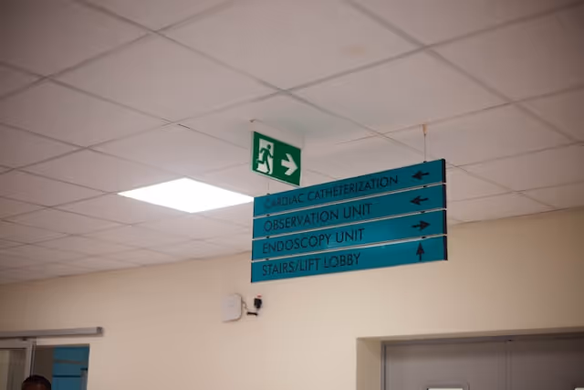
- Integrating Safety into Public Space Design: Public spaces within these neighborhoods can be designed with safety in mind, including clear signage for emergency procedures, accessible assembly points, and potentially features that could offer temporary shelter.
Leveraging Data and Collaboration in Planning and Design
Data and insights generated by monitoring systems and risk assessment technologies offer valuable inputs for urban planning and design in these sensitive areas. Integrating this information into planning processes allows for:
- Dynamic Risk Mapping: Utilizing real-time or near-real-time data to create dynamic risk maps that illustrate the potential impact of changing conditions around a sensitive site, informing immediate decisions during an incident and longer-term planning adjustments.
- Performance-Based Planning: Moving towards performance-based planning regulations that are tied to continuously monitored risk levels rather than static zones, allowing for more adaptive and responsive urban management.
- Informing Design Details: Using data on potential incident impacts to inform specific design details of buildings and public spaces, such as the required strength of materials or the design of ventilation systems.
Effective planning and design in these complex areas also require robust collaboration between urban planners, designers, engineers, public safety agencies, and the communities living near sensitive sites. Engaging residents in discussions about risks and mitigation strategies fosters trust and ensures that design solutions are tailored to their needs and concerns.
Challenges and the Path Forward
Planning for safety at the interface of sensitive infrastructure and neighborhoods presents challenges, including the need to balance safety requirements with development pressures, the complexity of assessing and communicating risks, and the difficulty of retrofitting existing development in high-risk areas.
However, by leveraging data for informed decision-making and applying sound urban planning and design principles, cities can significantly enhance safety and build more resilient communities. This involves a shift towards more dynamic, data-informed, and collaborative approaches to planning and designing the urban environment.
Smart Planning and Design's Expertise in Mitigating Proximity Risks
Smart Planning and Design is experienced in addressing complex urban challenges that require integrating safety considerations into the planning and design process. Our expertise in land use planning, urban design, site analysis, and the design of resilient public and private spaces allows us to develop strategies that mitigate proximity risks and enhance community safety. We work with cities and stakeholders to analyze risks, develop appropriate spatial plans and zoning regulations, and design physical environments that are both functional and prioritize the well-being of residents living near sensitive infrastructure. We understand how to translate data and risk assessments into tangible planning and design interventions that create safer interfaces in urban and peri-urban areas.
View Our Projects
Discover how Smart Planning and Design is creating safer and more resilient urban environments through strategic planning and thoughtful design.
See our work
Partner with Us
Ready to develop comprehensive planning and design strategies to mitigate proximity risks and enhance safety in your urban area? Contact Smart Planning and Design to discuss your needs.
Get in touch
The Future of Planning for Proximity Risks
The future will see even greater integration of technology-driven insights into planning and design practices. Digital tools could be used to simulate the impact of different planning and design scenarios on risk levels. Advanced analytics will provide more nuanced insights into vulnerability and resilience at the neighborhood level, informing highly targeted interventions. Performance-based zoning and adaptive planning frameworks will become more common, allowing cities to respond dynamically to changing risk profiles. Ultimately, urban planning and design will be increasingly data-driven, integrated, and focused on creating proactively safe and resilient interfaces between all components of the urban environment.
Conclusion: Shaping Safer Urban Interfaces Through Planning and Design
Managing the risks associated with sensitive infrastructure located near residential areas is a critical task for urban governance. While monitoring systems provide essential data, it is through informed urban planning and thoughtful design that cities can physically shape the interface to mitigate hazards and protect communities. Strategic land use, risk-informed zoning, the establishment of buffer zones, and the design of safe and resilient neighborhoods are fundamental to this effort. By leveraging these planning and design tools and integrating insights from available technologies, cities can create safer urban environments and build a more secure future for all residents living at the interface of different urban zones.