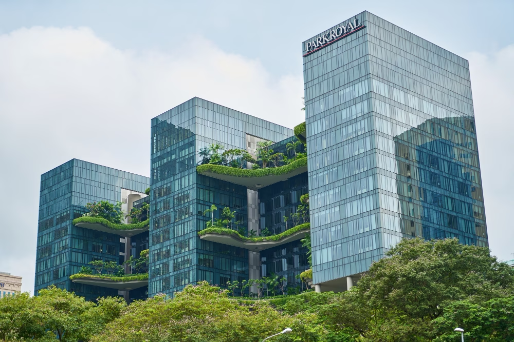
Urban Design Services That Meet Australian Green Building Standards
Discover how urban design services help meet Australian green building standards. Learn how Smart Planning and Design supports sustainable, compliant projects.
read more

In September 2023, New York City’s streets turned to rivers as a single day’s rainfall exceeded its monthly average. Weeks later, wildfires devoured 1.5 million acres of Canadian boreal forest, blanketing cities thousands of miles away in toxic smoke. These events are no longer anomalies—they’re the new normal. As climate change accelerates, cities face a stark reality: traditional disaster response plans are obsolete. But a new frontier of AI-driven prediction models is emerging, offering hope to urban planners and first responders. By harnessing machine learning, cities can now anticipate floods and wildfires with unprecedented accuracy, turning reaction into prevention.
For decades, cities relied on historical weather patterns and rudimentary sensors to prepare for disasters. But climate change has shattered these benchmarks. Rainfall patterns are erratic, wildfires ignite faster, and aging stormwater systems buckle under pressure. Take Houston, Texas: after Hurricane Harvey flooded 30% of the city in 2017, officials admitted their 100-year flood maps were outdated. Rebuilding cost $125 billion, yet 40% of affected homes lacked flood insurance. Reactive measures like sandbags and evacuation orders are vital but insufficient. To survive the 21st century, cities need predictive intelligence—tools that forecast disasters before clouds gather or flames spark.
Modern AI models don’t just analyze weather data—they synthesize it with urban infrastructure maps, soil moisture levels, social media trends, and even crowd movement patterns. For floods, algorithms process real-time rainfall radar, river gauge readings, and satellite imagery to predict inundation zones down to street-level precision. In fire-prone regions like California, AI cross-references decades of burn scars with live drone footage, humidity sensors, and social media posts mentioning “smoke” or “sparks.” Google’s flood forecasting system, deployed in India and Bangladesh, now alerts 360 million people via SMS 48 hours before waters rise, with 90% accuracy.
The secret lies in ensemble modeling, where multiple AI systems vote on outcomes. One model might focus on soil saturation, another on river flow rates, and a third on urban drainage capacity. Together, they create a hyper-local risk score, updating every 15 minutes. This isn’t crystal-ball gazing—it’s computational certainty.
Jakarta, sinking up to 25 cm annually, faces existential threats from floods. In 2020, the city partnered with Singapore’s AI startup AquaLinx to overhaul its disaster management. The system integrates:
During a 2023 monsoon, the AI flagged three neighborhoods 12 hours before flooding. Authorities deployed mobile barriers and redirected traffic, reducing property damage by 62%. The lesson? AI isn’t just about prediction—it’s about prescriptive action.
Wildfires once took days to spread; today, they can engulf 10,000 acres in hours. California’s FireGuard AI platform, developed with NASA, uses infrared satellites to detect heat anomalies as small as 10 meters wide. It then simulates fire paths using terrain data, wind patterns, and historical burn rates. In 2022, the system identified a nascent fire near Lake Tahoe 18 minutes before the first 911 call, allowing crews to contain it at 5 acres—not 5,000.
Urban planners are now using these tools preemptively. Boulder, Colorado, redesigned evacuation routes after AI models revealed bottlenecks. Developers in Sydney avoid building in “ember zones” flagged by predictive algorithms.
Despite its promise, AI faces hurdles. Many cities lack digital twins (3D city models) to feed algorithms. Data silos between agencies—water departments hoarding river data, utilities hiding grid maps—cripple predictions. Ethical concerns linger: Should insurers access flood risk scores? Will AI’s “false positives” breed complacency?
Solutions exist. Open-data platforms like Amsterdam’s Digital City pool information across departments. Grants from the EU’s Climate-Neutral Cities Mission fund AI toolkits for smaller municipalities. The key is treating AI not as a magic fix but as a collaborative tool—one that empowers planners, engineers, and citizens alike.
The technology to predict and prevent urban disasters exists. What’s missing is urgency. Cities that delay AI adoption risk becoming the next headlines—submerged neighborhoods, charred suburbs, and billions in avoidable losses. For planners and policymakers, the mandate is clear: partner with tech firms, democratize data, and rewrite building codes to reflect AI’s warnings. The next disaster isn’t a question of if but when. With AI, we can ensure it’s also a question of how well we prepared.

Discover how urban design services help meet Australian green building standards. Learn how Smart Planning and Design supports sustainable, compliant projects.
read more

Discover the benefits of mixed-use developments in town planning Australia. Learn how they boost convenience, sustainability, and community connection.
read more

Discover why feasibility studies are essential in town planning Australia. Learn how they save time, reduce risks, and improve approval chances.
read more