The Growing Challenge of Urban Development in Australia
Australia’s cities are at a crossroads. With populations in Melbourne, Sydney, and Brisbane projected to surge by over 50% by 2050, urban planners face unprecedented pressure to balance growth with sustainability. Traditional zoning processes, often bogged down by manual surveys and outdated data, struggle to keep pace. Enter drone-based surveys and smart design principles—a combination reshaping how Australian cities plan for the future.
How Drone Surveys Are Revolutionising Land Use Analysis
Gone are the days of relying solely on ground-based surveys or satellite imagery with limited resolution. Drones equipped with LiDAR sensors and high-resolution cameras now capture precise, real-time data across vast areas. In Adelaide, for instance, drone surveys mapped 500 hectares of urban fringe land in just three days—a task that once took months. This granular data reveals topography, vegetation density, and existing infrastructure, allowing planners to identify optimal zones for residential, commercial, or green spaces with unprecedented accuracy.
But the true power lies in integration. By feeding drone data into AI-powered platforms like those trialed in Perth’s “Smart Cities” initiative, planners simulate scenarios such as flood risks or traffic patterns before finalising zoning decisions. This proactive approach minimises costly revisions and accelerates project timelines.
Smart Design Principles Elevating Australian Urban Planning
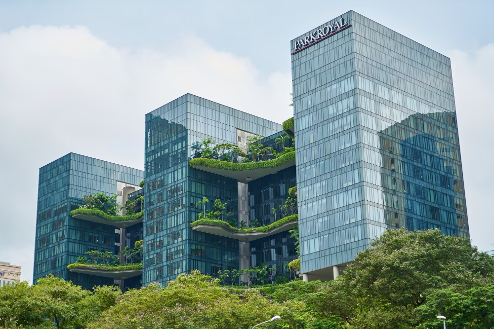
Smart design goes beyond technology—it’s about creating adaptable, human-centric spaces. In Melbourne’s Fishermans Bend redevelopment, drone-generated 3D models informed designs for mixed-use precincts that prioritise walkability and renewable energy microgrids. Similarly, Sydney’s Western Parkland City leverages drone data to plan “20-minute neighbourhoods,” where residents access essentials within a short walk or cycle.
These projects highlight a key shift: zoning is no longer just about dividing land. It’s about designing interconnected ecosystems where housing, transport, and green corridors coexist. For example, Brisbane’s Cross River Rail project used drone surveys to optimise station placements while preserving heritage sites—a balance manual methods often miss.
Overcoming Challenges in Adoption
Despite their potential, integrating drones into planning workflows faces hurdles. Regulatory frameworks vary across Australian states, with strict aviation rules limiting drone flights in urban zones. Privacy concerns also arise when capturing detailed imagery of private properties. However, councils like the City of Gold Coast are pioneering solutions, such as anonymising data in public reports and partnering with certified operators to ensure compliance.
Cost remains a barrier for smaller municipalities, but shared-service models are emerging. Victoria’s “Drone-as-a-Service” program, for instance, allows regional councils to pool resources for affordable access to survey technology.
The Future of Zoning in Smart City Australia
The trajectory is clear: drones and smart design are becoming staples in Australia’s urban planning toolkit. Emerging trends like digital twins—virtual replicas of cities built from drone data—promise even deeper insights. Imagine planners testing zoning impacts on air quality or energy use in a virtual Melbourne before breaking ground.
As Australia strides toward its 2030 Smart Cities Plan, the fusion of drone innovation and intelligent design principles will be key to building cities that are not just larger, but smarter, greener, and more liveable.